The world is mapped using a grid of longitudes and latitudes. There is a degree confluence point where each line of longitude crosses each line of latitude.
On the weekend Jody, Mike and I hiked into the woods towards an unvisited degree confluence here in Manitoba’s interlake region (just north of Gypsumville).
We brought a GPS and some maps. We were given advice and direction by the local Conservation Officer. Our packs were lined with garbage bags.
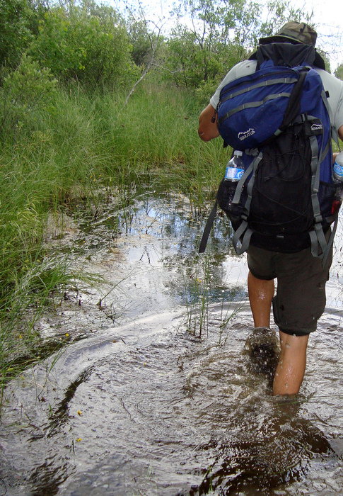
One the first day we crossed a swamp by convincing ourselves to walk in deeper and deeper water. Eventually we swam, but only for a few doggy paddles.
On the second day we crossed swamps by sloshing atop floating mats of tangled reeds.
See: Our Confluence Scouting Photos or Slideshow
Another attempt will be required to reach the point.
“There is a confluence point within 49 miles (79 km) of you if you’re on the surface of Earth. The goal of this project is to visit each point and to take pictures at each location.”

